Thursday, January 13, 2022
Sunny and 50 degrees F: time for a hike, this time at
Okehocking Preserve. We followed the 2.5 mile self-guided trail walk that connected interpretive markers.
 |
Aaron Garrett Farmhouse (c 1802) on land that was part
of the 1703 land grant from William Penn, designated for
the Okehocking tribe of the indigenous Lenni Lenape,
which they apparently used as a summer station for fishing
as no evidence of a historic First Nations village was found |
 |
Barn foundation remains that one day may
become the Okehocking Nature Center |
 |
View of the meadows across the Delchester Run valley,
taken from a hilltop wood platform called a hawk watch stand
built by the Okehocking Nature Center |
 |
The Blue Trail takes us through the forest of
beech, shagbark hickory, red and white oaks,
tulip poplar and red maple |
 |
Hmm, Penn's Preserve is a neighboring residential
development, yet this is a public utility wastewater
treatment spray field within Okehocking Preserve |
 |
| Cladonia cristatella/Red Cap Lichen on the wood fence |
 |
Monitoring well #3 is another indication
we are at a wastewater treatment facility |
 |
| Delchester Run |
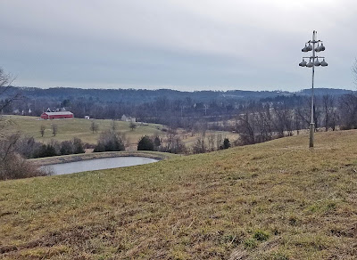 |
View south with a wastewater filtration pond, the
Garrett Farmhouse in middle distance, and a
collection of purple martin birdhouses |
Okehocking Preserve is part of Audubon designated Upper Ridley/Crum Important Bird Area #72, which also includes Ridley Creek State Park and Tyler Arboretum. Over 140 species of birds have been documented at Okehocking.
 |
| Those are faux birds at the purple martin houses (KSS) |
 |
| Another wastewater filtration pond with aerators (KSS) |
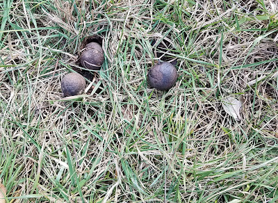 |
There must also be Juglans nigra/
Eastern Black Walnut trees here! |
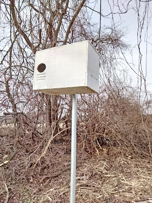 |
A large bird house, perhaps for the
Megascops asio/Eastern Screech Owl
or Falco sparverius/American Kestrel |
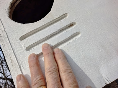 |
| The bird house opening is about 3 inches in diameter |
 |
| This rock has some significance, but the paper sign was shredded |
 |
| View southeast over the filtration pond with aerators |
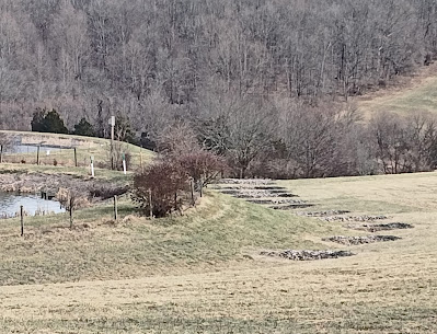 |
Next to the pond are a series of stone walls -
wastewater filtration ditches? (KSS) |
 |
| A directional trail marker is on a downed tree! |
 |
| A large downed tree's root system lifted the base rocks |
 |
| Kent stands next to the downed tree's root ball with rocks |
 |
Interpretive marker #6 - we had fortunately
printed the text for the markers |
 |
| The trail goes from mud to icy mud! |
 |
Ridley Creek is somewhat protected from pollution of
residential development due to tree canopy and riparian
buffers (land in its natural state adjacent to a stream) |
 |
| Stone retaining walls protect the creek from bank erosion (KSS) |
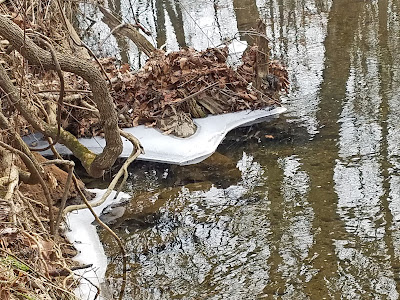 |
| Modern ice sculpture |
 |
| The trail through the creek bottom land |
 |
| Goulder's Barn, an 18C stone bank barn |
 |
Goulder's Barn, where you can determine that the barn
can be entered on three levels (KSS) |
 |
| Bat house (KSS) |
 |
| Ridley Creek |
 |
| Where Delchester Run meets Ridley Creek |


No comments:
Post a Comment