Wednesday, July 31, 2019
 |
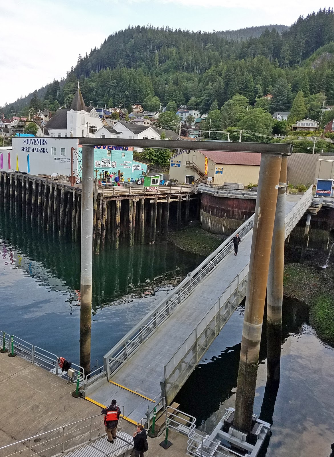
| Docking in Ketchikan, AK |
Knowing there is no guarantee, we wanted to increase our chances of seeing bears swiping salmon out of rivers. We hired a private tour guide, Rich Lee, of Aurora Tours, and met the Tlingit native shortly after the ship arrived in Ketchikan, at 7:15. He drove us SE around Deer Mountain Point, then N to Herring Cove. We saw bald eagles and their nests.
 |
| Haliaeetus leucocephalus/Bald Eagle (EHS) |
Perhaps because the tide was out, there was less salmon activity in the shallow water of Herring Cove. One bear kept going behind a turn farther upstream near the fish hatchery. Another picked berries way back near trees behind a large grassy area surrounded by a boardwalk.
 |
| Erich, Pete, and Dylan search for bears |
 |
| Bear footprints below us |
 |
Tamiko, Dylan, Pete, Kent, Erich (photo by Rich Lee);
note black dot above Pete and to the L of Kent's head: a black bear;
yes, it was drizzling rain |
Ketchikan has one of the highest average rainfalls in Alaska at 141 inches.
 |
| That Ursus americanus/Black Bear did eventually come to the water's edge |
(Video by EHS)
 |
| Dylan and Pete watch two black dots, I mean bears; one chased the other away |
 |
Next stop: Whitman Creek waterfall,
with Pete, Erich, and Dylan |
 |
| Pete, Erich, Dylan, Tamiko, and Kent (by Rich Lee) |
 |
| Oh, did you want to see the waterfall? |
 |
| Another bald eagle (EHS) |
 |
Another stop to see a) how thin the topsoil is in Ketchikan, and b)
the gap where winds come storming in at over 100 mph;
the construction is of a house to replace one crushed by a wind-blown tree |
 |
| One of many toppled trees along this stretch of the road |
 |
| Another stop for a better view of the access to the Pacific Ocean |
 |
Original chief's totem at 2760 S Tongass "Highway;"
it has plants growing out of the top |
 |
Saxman Tlingit (pronounced kling-kit) Village,
where Rich Lee grew up, with replicas of totems |
We were driven back along S Tongass Highway, made a right turn at Deermount Street, and a left around City Park.
 |
Because the town sits on granite, the football/soccer field
is covered with gravel instead of grass;
playing field lines are drawn the day of a game |
The money the city earns on tourism is used for the benefit of the citizens, with new schools and community centers, a trade school, hospital additions, etc. Continued along Schoenbar Road.
 |
Hilltop view of West Ketchikan and the airport across the waterway;
one must take a ferry to the airport (KSS) |
 |
Striking (7/24-8/4/2019) Alaska Marine Highway ferry system workers,
who had been working without a contract since 2017 |
 |
| Trying to get a photo of the Norwegian Jewel |
We were dropped off at the ship.
Next: Ketchikan II.


No comments:
Post a Comment